Mobile Apps
Saskatoon Transit has real-time transit tracking through third party apps like Transit and Google Maps Transit on desktop. Saskatoon Transit provides GPS information on bus locations throughout Saskatoon. Real-time transit tracking shows you the location of your bus in real-time and shows how many minutes until the next bus arrives, which limits wait times at bus stops.
.png) |
Download the Transit app: |
Plan your trip. Track your ride.
See nearby ETAs as soon as you open the app.
Pay your fare
Buy your tickets directly from Transit’s home screen. Scan your device as you board, and off you go!
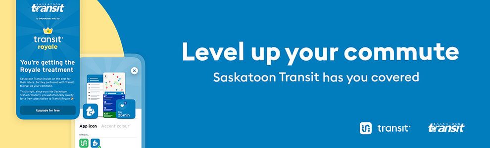
Unlock Royale
Saskatoon Transit riders can upgrade to Transit Royale, the premium subscription in the app, for free! Unlock leaderboards, avatars, and access to all the newest features.
Real-time vehicle locations on the map
Transit has real-time information for Saskatoon Transit buses – as well as connecting services across the region, like On Demand Transit, ridehail, and more.
Find the fastest way
Combine bus service with other transport options – right from Transit’s trip planner.
Step-by-step guidance with GO
Tap GO to be reminded when to leave, when to transfer, and when to get off the bus. Subscribe to push notifications so you know when you’re almost there and when you’ve arrived.
Bring wisdom to the crowd
With GO crowdsourcing, you can share real-time reports on crowding and accessibility and boost the accuracy of real-time info for fellow riders.
Service alerts
Stop moved? Disrupted service? Find out before you leave. View service alerts in Transit, or subscribe to receive push notifications for your favorite routes.
Travel smarter with Transit
Download Transit today
Still have questions? Check out the FAQs
Both the Transit App and Google Transit:
- Provide walking directions to the nearest stop.
- Allow you to find your destination based on landmarks or place names rather than an address.
- Allow you to select a departure or arrival destination based on nearest intersection rather than address.
- Google Transit allows you to use “street view” to see what your departure or arrival destination looks like.
By downloading the Transit or Google Maps you are agreeing to the terms of use and conditions of those individual applications.